01 · Check the sources
I check the available elevation models, mapped soils, flood information and climate records against your property extent. I review dates, resolution and coverage before agreeing the scope.
Groundwork packages
I source and review terrain, soil, water and environmental data, then bring the findings into a toolkit built for your property.
Choose a reviewed analysis, develop a layout with me, or see proposed changes visualised in views of your land.
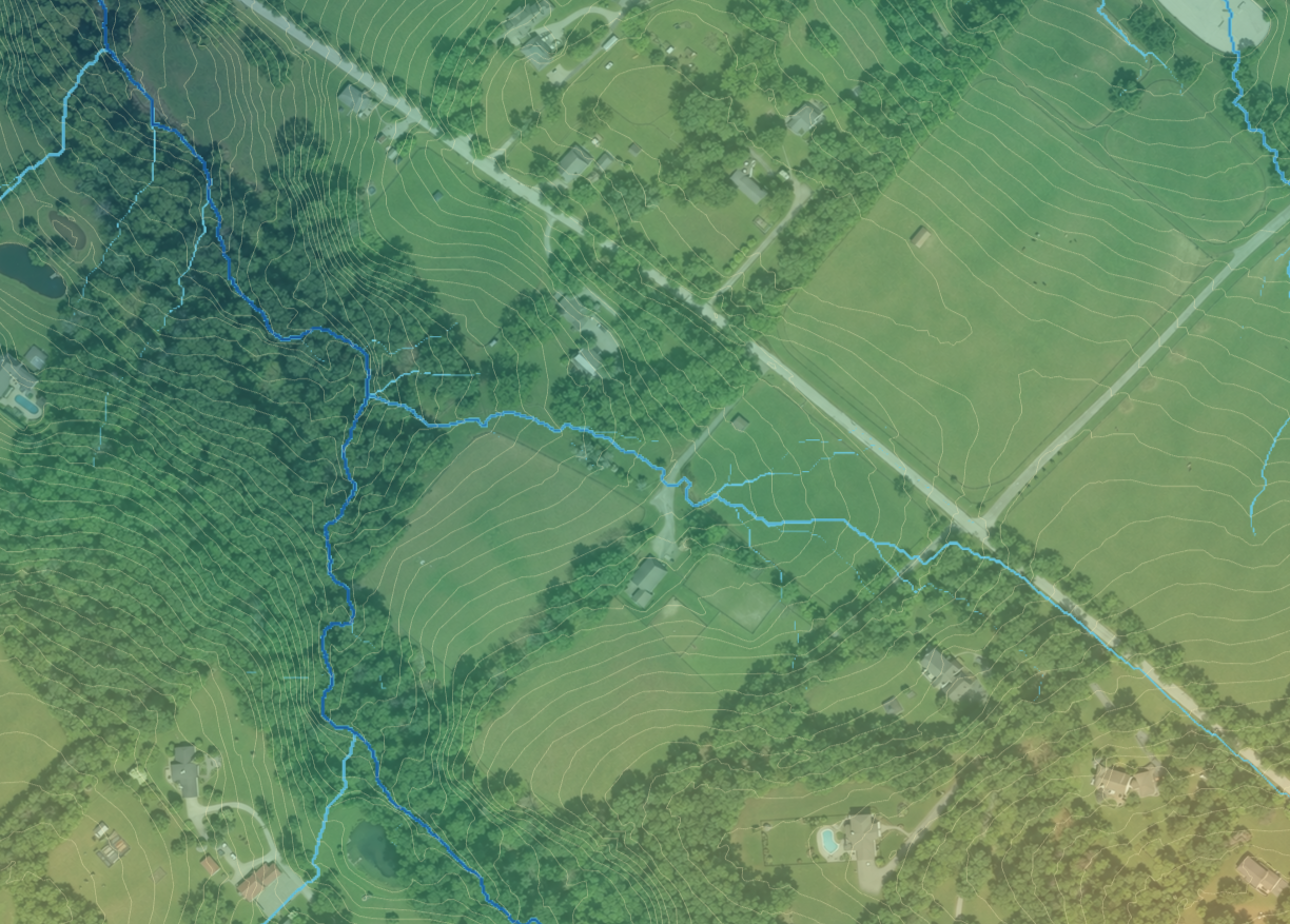
Reviewed land findings, handmade annotations and your Groundwork toolkit.
Land analysis, personal consultation and custom layout proposals.
Consultation, on-site imagery, realistic proposal views and provider introductions.
PACKAGE 01
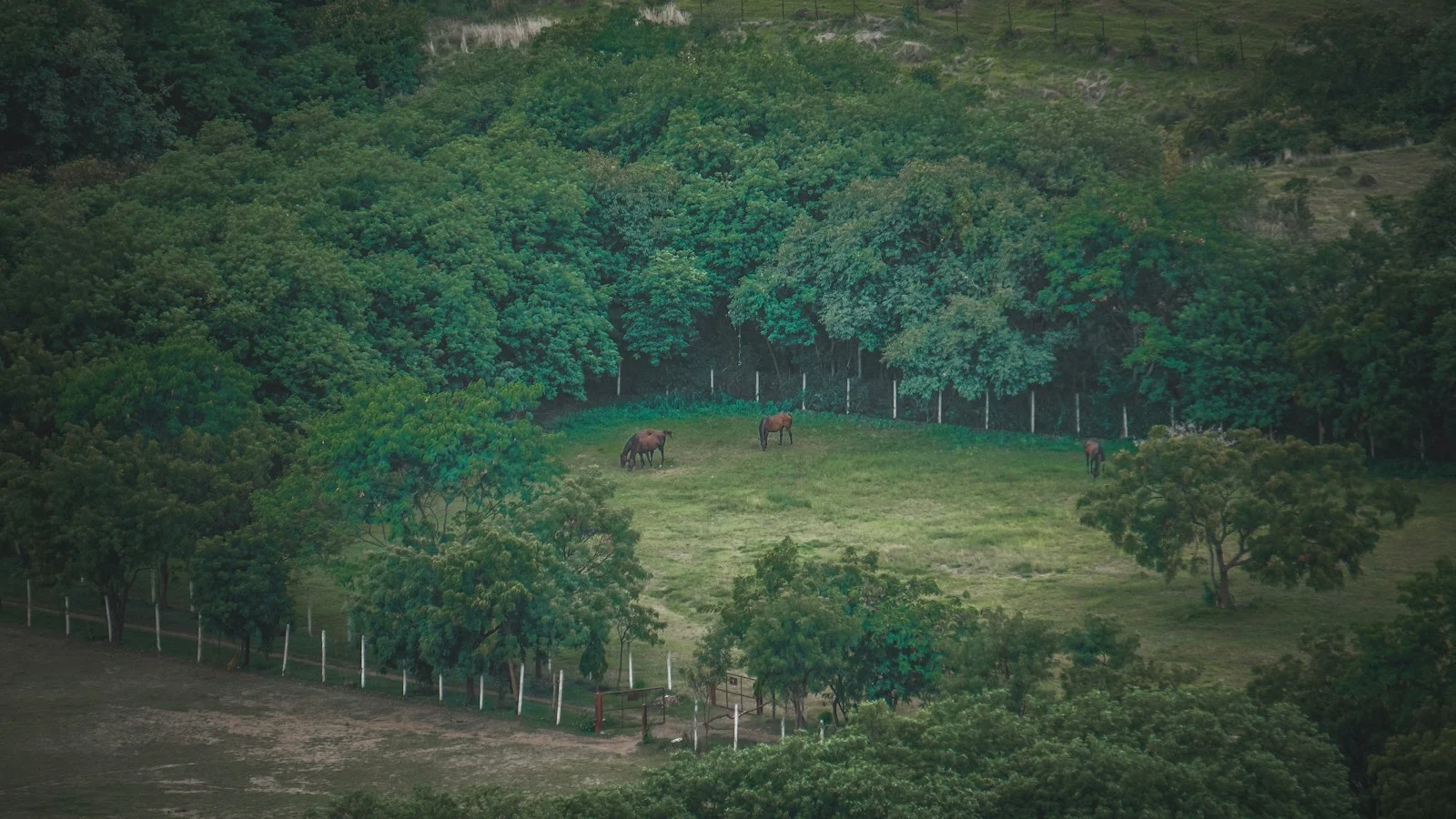
Understand your land. Start planning with clarity.
I review available elevation models, soil surveys, flood mapping and climate records, and prepare terrain-derived views of slope, contours, potential runoff and shade where the source data supports them. You receive explained findings, annotated areas to investigate, source references and an interactive toolkit.
Starting from €750
Get a quote ↗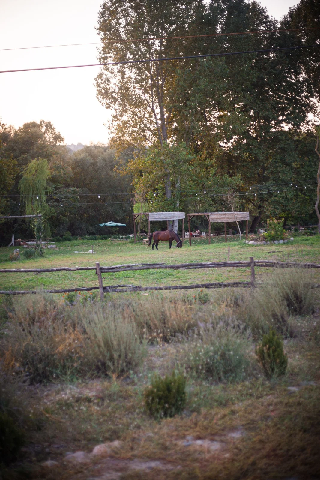
PACKAGE 02
Understand your land and develop a plan around your ideas.
Work with Groundwork to review your ideas, compare options and develop layouts around your property, horses and priorities.
Starting from €1,400
Get a quote ↗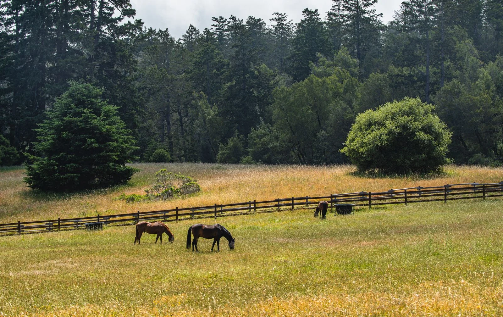
PACKAGE 03
See your proposed changes in place, and prepare to get the work underway.
Explore your plans in actual views of your property. Receive shareable proposals and introductions to local providers for the work identified during your consultation.
Starting from €4,000
Get a quote ↗The method
I check the available elevation models, mapped soils, flood information and climate records against your property extent. I review dates, resolution and coverage before agreeing the scope.
I compare terrain-derived patterns with the source mapping, inspect the layers and annotate the places that matter to your plans. I distinguish mapped findings from estimates and questions for an on-site check.
I prepare layered views, explained findings and design tools for your property, with a walkthrough so you can explore the analysis and compare layouts.
Resolution and layer count depend on the available sources. The Pennsylvania demonstration uses a 1 m terrain model and USDA soil mapping; the same detail is not available everywhere. Your proposal identifies the datasets, resolution, coverage and views included for your land.
Your project
Send an enquiry for a location. I’ll review the available data and send you an overview of its coverage and initial findings, alongside a quote for the work.
The initial review is free, with no obligation to commission a package.
Get a quote ↗