



Get your property quote. ↗
Send me the location. Find out what your property analysis could include and what it would cost.
Groundwork analysis · Pennsylvania, USA
A real example of an analysed property, what my services can tell you based on data, and how you can use it to plan with clarity and ease.
Understanding the land
Pennsylvania, USA
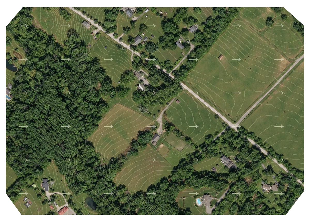
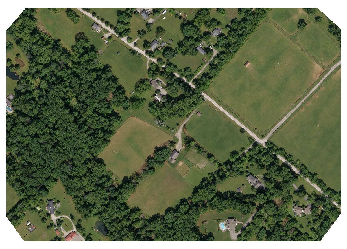
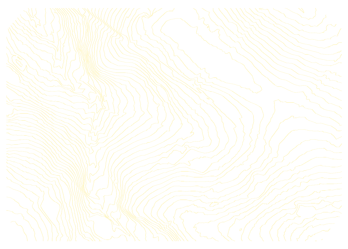
Understand how the shape of the land influences your horses’ space. Explore a carefully constructed view of changing shade, gradients and prevailing wind while planning where tracks connect, horses rest and shelters face.
Ground height ranges from 116 to 171 m. Views of contours, slopes and aspect make the land easier to understand and plan around.
Westerly winds were the most frequent sector in the regional weather record. Direction adds useful context when considering exposed fields, sheltered edges and the orientation of a shelter.
Move the time slider to see shade shift around trees and across the ground. Compare resting areas and track sections at different times before settling on a layout.
Pennsylvania, USA
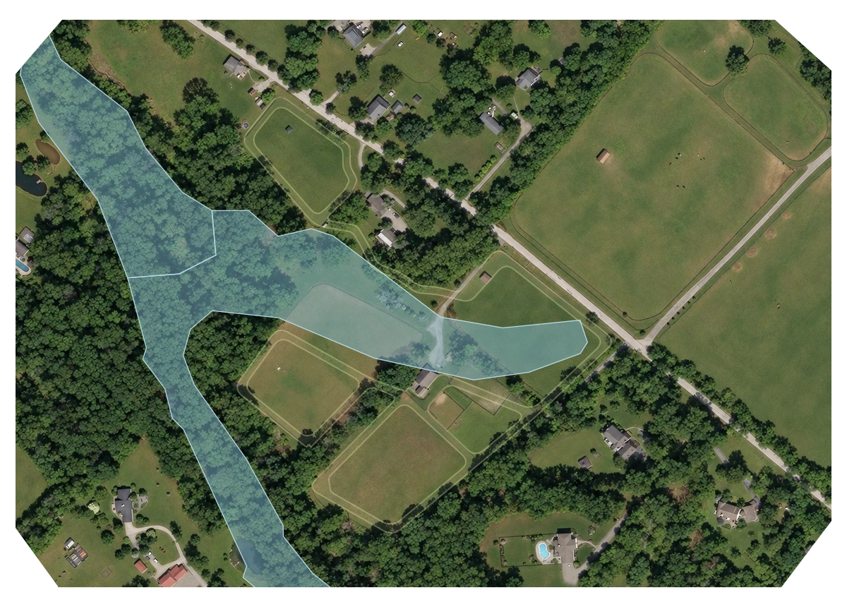
Good turnout starts beneath the grass. Soil mapping reveals how drainage and texture vary across a property, helping you weigh winter use, fencing and groundwork before committing to a plan.
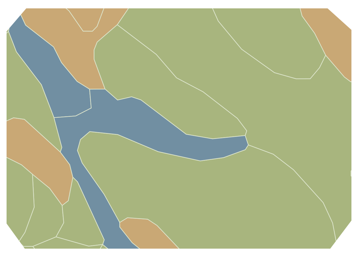
A band of poorly drained soil crosses the property. Seeing its position early helps you compare layouts and identify where winter use may call for closer investigation.
Gladstone soil covers most of the mapped property. Knowing where better-drained ground lies helps you consider tracks, turnout and the areas likely to need less drainage work.
Pennsylvania, USA
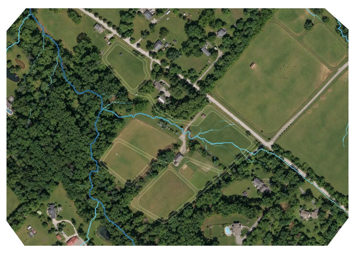
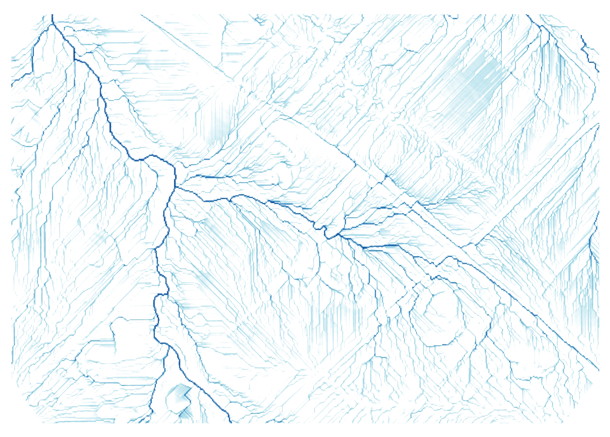
See where the ground gathers runoff and where its shape favours moisture accumulation. These patterns help you compare layouts and identify places to investigate before committing to tracks, winter turnout or groundwork.
The terrain reveals where runoff from uphill ground converges. Seeing those pathways early helps you compare track layouts and spot crossings where drainage work may affect your budget.
Uphill catchment
How much ground feeds towards a location—not just how wet that spot looks.
Some areas combine incoming runoff with gentler slopes, creating conditions that favour moisture accumulation. Compare these patterns with soil drainage before choosing winter turnout areas or committing to groundwork.
Terrain + soil drainage
When both point towards wetter conditions, you have a stronger reason to investigate before spending.
Property analysis, by Groundwork
Get a sourced and reviewed package of available terrain, soil, water and environmental information for your property, tailored into your Groundwork Toolkit.
Sourced & reviewed
Property data collected and checked for availability and coverage, with clear explanations and annotated findings to help you understand the land.
Property analysis, by Groundwork
Get a sourced and reviewed package of available terrain, soil, water and environmental information for your property, tailored into your Groundwork Toolkit.
Layered data views and easy-to-use design tools in one workspace. Draw tracks and paddocks, place resources and measure as you work, with the analysed data layers there to guide every decision as you go.
Scroll to explore this property →
Get started
Send me the location. Find out what your property analysis could include and what it would cost.
I check the available information and prepare a tailored proposal, outlining what I can reveal about your land and what your package will include.
Receive your interactive property analysis, with explained findings, handmade annotations, a tool tutorial and a layout planner to explore ideas directly on your land. Yours to keep.